

Catawba Greenway

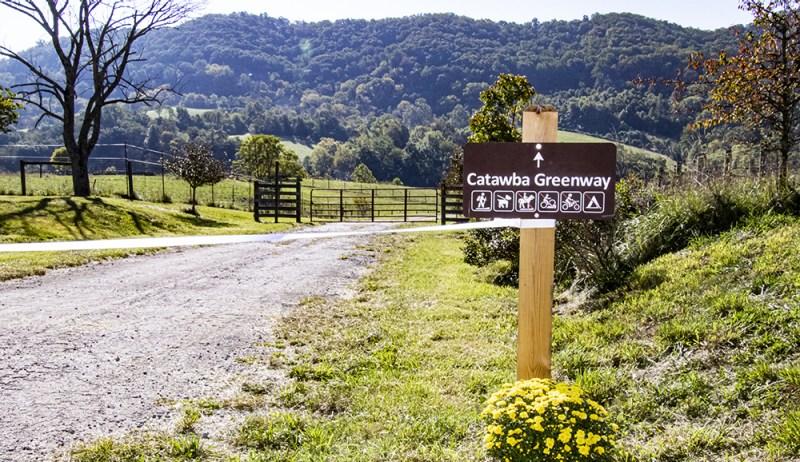
Get to McAfee Knob on the Catawba Greenway
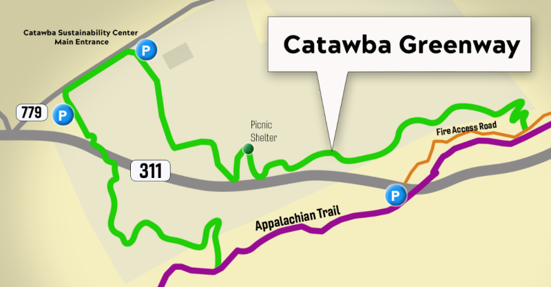
The Catawba Greenway is a 2.9-mile hiking loop connecting the Appalachian Trail to the Catawba community. A parking lot at the Catawba Sustainability Center provides additional parking for hikers headed to McAfee Knob, one of the most popular overlooks along the Appalachian Trail.
McAfee Knob — along with neighboring Dragon’s Tooth and Tinker Cliffs trails — is part of Virginia’s “Triple Crown” of hiking, bringing about 70,000 outdoors enthusiasts from near and far to see its 270-degree vista.
In addition to easing parking congestion, the trail also improves safety for hikers along state Route 311. Appalachian Trail thru-hikers now will have an alternative, off-road path to visit Catawba and its farmers market and post office.
From the parking lot, the greenway winds its way through the Catawba Sustainability Center, following old Route 311 to a picnic shelter on a knoll and offering dramatic views of the Catawba Valley. Beyond the shelter, a single-track hiking trail connects to the McAfee Knob fire road.
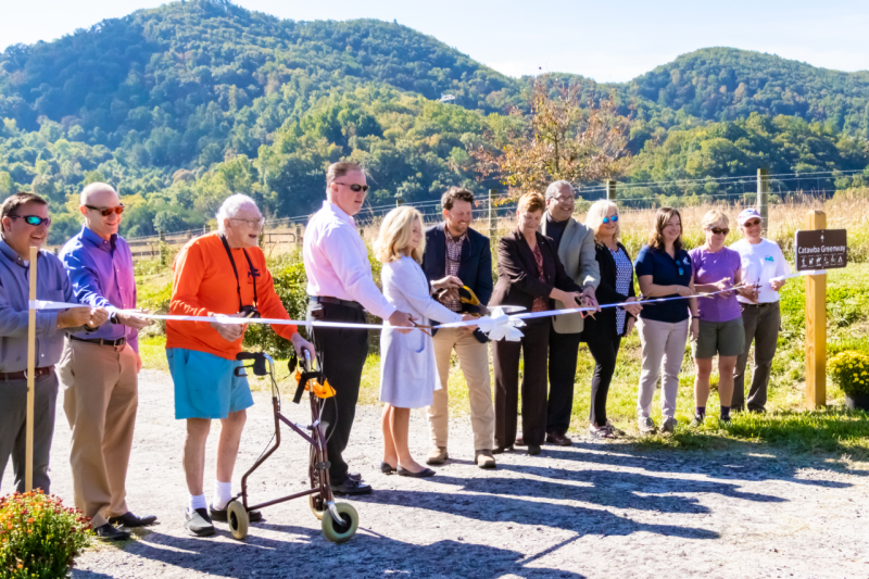
Ribbon-cutting ceremony opens trail
Just in time for the fall hiking season, representatives from Virginia Tech, Roanoke County, and the community gathered for a ribbon-cutting ceremony to officially open the 2.9-mile loop.
Video courtesy of Roanoke County Economic Development